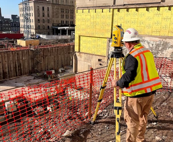
John Smoker, PLS: A Career Built on the Fundamentals of Surveying
Some careers begin with careful planning—others start as a summer job and become a lifelong passion. When

Dawood is your technology teaming partner—from construction stakeout, mobile LiDAR, and unmanned aerial systems to subsurface utility engineering (SUE). We use survey grade data to create 3D models and advance digital twin technologies.
Our safety-focused survey crews work throughout major urban areas, along highways and interstates, and in heavily wooded rural areas or mountainous terrain. Throughout the U.S. and internationally, Dawood surveyors average 25 years of experience using the latest tools to increase efficiency and deliver affordable results.
“It’s always a pleasure to work with the Dawood surveying team—data-driven and detail-oriented!”

Dawood provided surveying, geotechnical, site design, and permitting services as part of wastewater treatment plant upgrade.

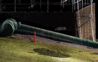
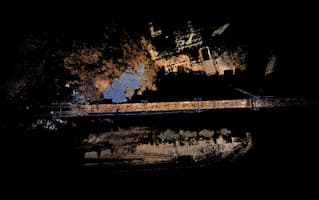
Dawood used terrestrial scanning and surveyed a 115-year-old historic structure, providing detailed measurements and profile elevations.

Dawood provides survey and basemap preparation for Massachusetts Department of Transportation Bowker Overpass over I-90 improvements.

Some careers begin with careful planning—others start as a summer job and become a lifelong passion. When

At Dawood, surveying is a core solution connected to everything we do! For National Surveyors Week 2025,

(Braintree, MA.) Mark R. Magowan, PLS, joined Dawood, an international engineering and technology firm, as Survey Manager