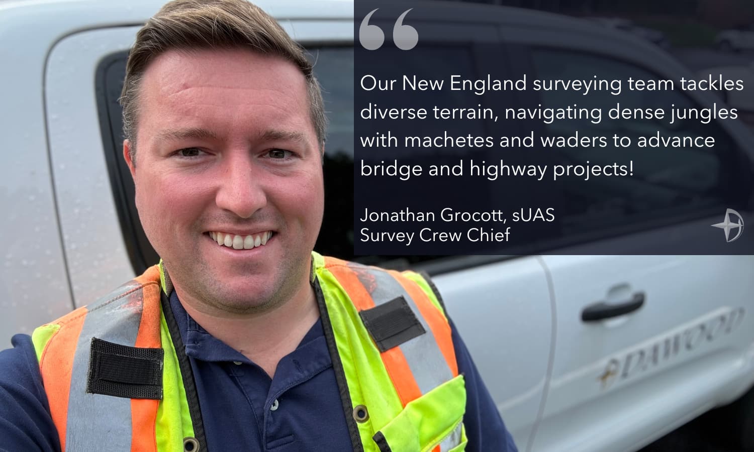
Jonathan Grocott, sUAS, plays a critical role on our Braintree, Massachusetts, survey team—supporting transportation projects and achieving his remote pilot certification. We recently sat down with Jon to learn about his dynamic role in Braintree operations.
1. Tell us about your responsibilities.
I handle bridge and roadway projects using LiDAR, global positioning systems (GPS), static 3D scanners, and conventional survey equipment to create existing conditions, topographic, and other survey plans. I also obtain invert pipe and basin measurements for drainage and sewer structures and earned my Federal Aviation Administration Remote Pilot Certification to advance Dawood’s aerial photography pursuits. In the office, I incorporate data into detailed maps and study aerial, mapping, and trigonometry to improve my drone skillset. There’s an art to utilizing tools and technology!
2. Talk about how technology is used in your New England project workflow.
The Braintree team integrates Trimble software to capture data, create line work, and download data from the field. Specifically, as field crews, we use TSC5 data collectors and TBC software in the office. Our CAD technicians then refine that data as the foundation for modeling, such as Autodesk Civil 3D bridge model outputs. When considering site conditions, we use different tools for accurate point collection knowing that forests and vegetation can impact vehicle-mounted LiDAR and traditional surveying.
3. Can you cite an example of overcoming challenging conditions?
A notable case is the Route Two Green River bridge replacement in Greenfield, Massachusetts. We prepared right-of-way, layout, existing conditions, topographic, and hydrographic surveying for the bridge, sidewalks, utilities, and surrounding project site. Our team captured 500 feet of streams and off-shoots within the area’s bathymetric limits, worked in dense jungles, and used machetes, waders, and cut line to obtain shots at the banks and river cross-sections. It was difficult but rewarding work to develop a refined and accurate map. Our experience also extends to other Massachusetts Department of Transportation (MassDOT) bridge and highway projects.
4. MassDOT work such as?
We surveyed Routes Six and 138 highways in Somerset—a project developing new manhole and drainage systems. To prepare easement and order of taking plans, our team reviewed vehicle-mounted LiDAR scanning, conventional topography in vegetated and swampy areas, GPS work, and inverts. We also depicted and controlled field books according to MassDOT standards and measured elevation changes using control and LiDAR targets with a digital level.
5. What are your career aspirations?
My long-term goal is to achieve a professional land surveyor license. Short-term, I’m pursuing a University of Maine bachelor of science in Surveying Engineering Technology, and focusing on CAD courses to improve field data processing and interpretation.

