
Part One | Part Two
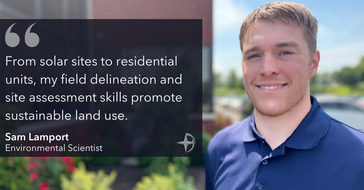
Sam Lamport shines at Dawood! Armed with a strong academic foundation in biology, he evaluates and characterizes natural resources during development projects. We sat down with Sam for a snapshot of his day and how he drives our efforts towards greener land management.
What does your typical week look like?
I identify wetlands, streams, and jurisdictional waters through background research and field delineation to promote responsible development and facilitate regulatory approvals for projects. My additional responsibilities include conducting Phase I Environmental Site Assessments to examine a property’s current and historical use and identify hazardous conditions.
How does environmental work promote a sustainable community?
Water resources provide important ecological and economical functions that benefit local and regional communities. For example, avoiding and reducing impacts to wetlands improves water quality, protects against flooding, and provides animals with food and shelter. Our efforts assist clients with their development goals while maintaining functional ecosystems.
Walk us through the field delineation process.
It’s two-fold: background research involves reviewing topography, aerial photography, and other publicly available resources to identify potential streams, ponds, rivers, and wetlands. This first step is more office work and visual-based. Secondly, fieldwork is necessary to formally identify and delineate resources using Army Corps of Engineers and State regulatory methodologies.
How do you handle wetland identification?
I look for direct and indirect evidence of hydrology, hydrophytic vegetation, and hydric soil indicators. Wetland soil is exposed to high water saturation levels and low oxygen levels, expressed in the soil’s color and hue. Hydrophytic or water-tolerant plants tend to thrive in these conditions. We use these parameters to define a boundary between wetlands and uplands.
Stay tuned for Part Two of Sam’s blog, where he cites his environmental project experience and benefits of using geospatial tools.